5. Cocking Lane, Brunthwaite, Silsden, Rombalds Moor, Ilkley Moor, Ilkley, Nesfield
15.6 miles, 3100 feet of ascent (25.1 km, 625 metres of ascent)
A circular ride around Rombalds Moor and Ilkley Moor before dropping down into Ilkley and then back via Nesfield alongside the River Wharfe.
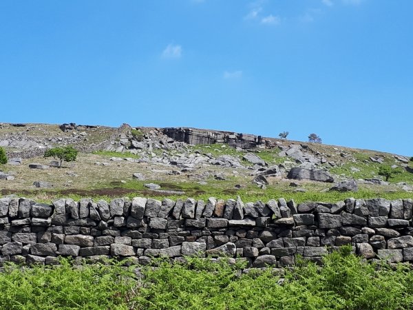
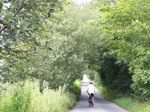
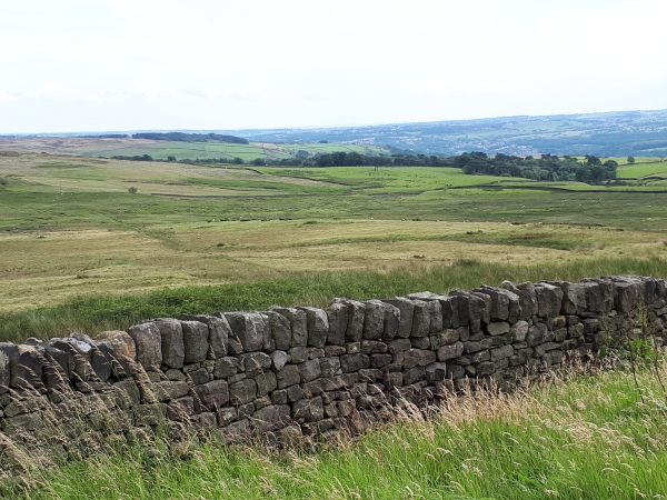
Started by riding up the village and then taking Silsden Road to the roundabout on the bypass. ![]() Go straight across the roundabout and take the first left up Turner Lane to the cross roads at the top, turning right, before then turning left to follow Lightbank Lane under White Crag along the ridge towards Silsden.This is followed by a long down hill stretch through High Brunthwaite and Brunthwaite to a cemetery where it meets up with Howden Road.
Go straight across the roundabout and take the first left up Turner Lane to the cross roads at the top, turning right, before then turning left to follow Lightbank Lane under White Crag along the ridge towards Silsden.This is followed by a long down hill stretch through High Brunthwaite and Brunthwaite to a cemetery where it meets up with Howden Road.
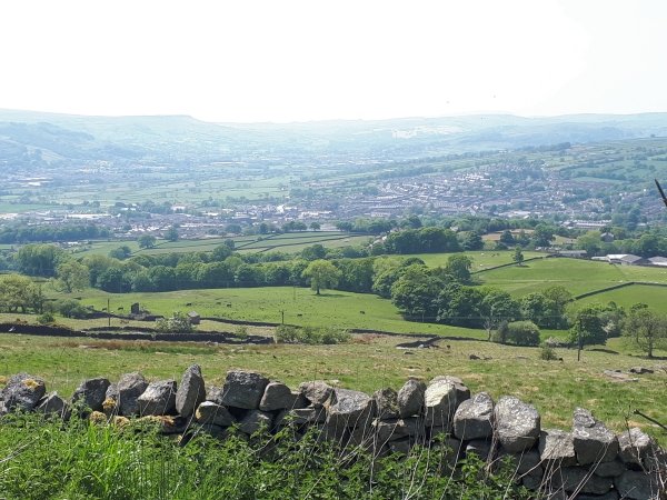
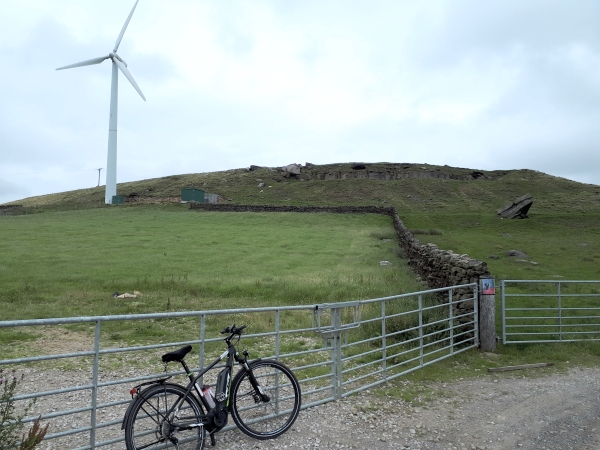
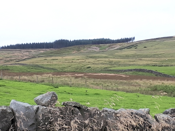
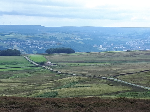
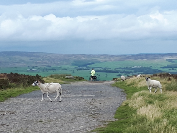
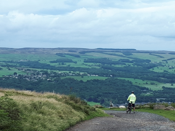
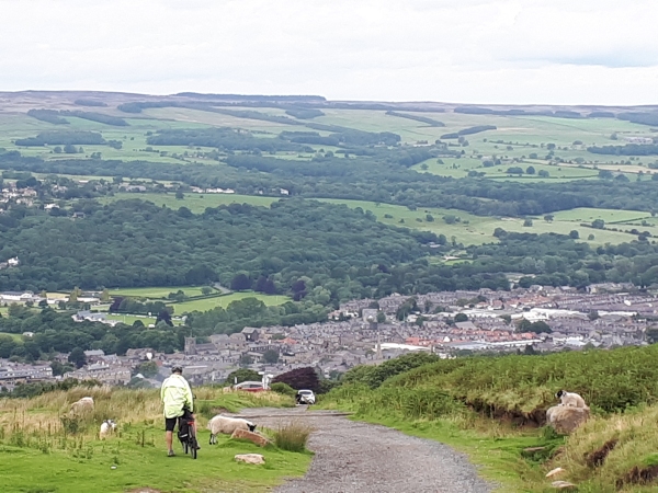
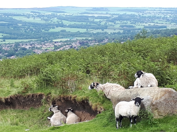
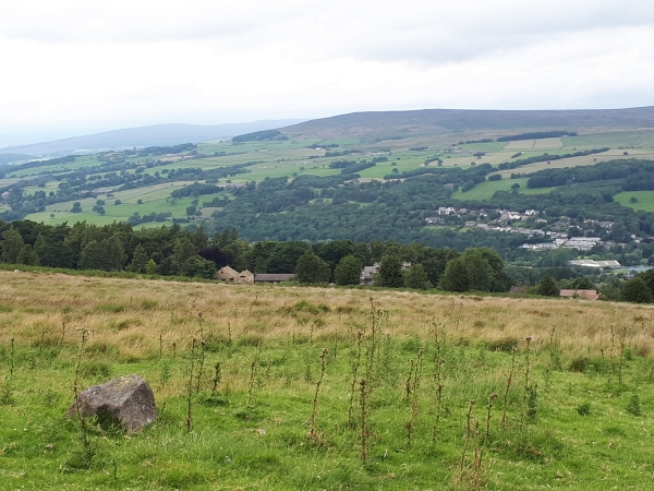
Turn left at Howden Road and follow this road up a long steep hill and keep going along the edge of Rombalds Moor until arriving at a cross roads where Riddlesden is signposted to the right down the hill. Instead turn left up the hill and continue to the top of Ilkley Moor. The road is gated at the top and ![]() through the gate is one mile of downhill gravel track which is easily navigated on a mountain or hybrid bike, but will prove challenging for road and touring bikes. There are expansive views over the Aire and Wharfe valleys from here.
through the gate is one mile of downhill gravel track which is easily navigated on a mountain or hybrid bike, but will prove challenging for road and touring bikes. There are expansive views over the Aire and Wharfe valleys from here.
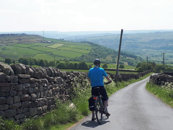
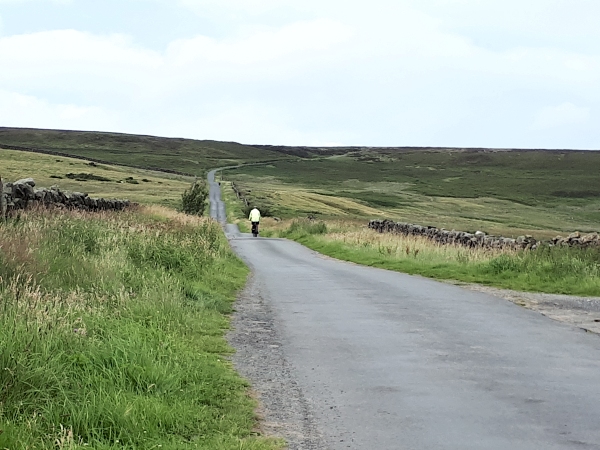
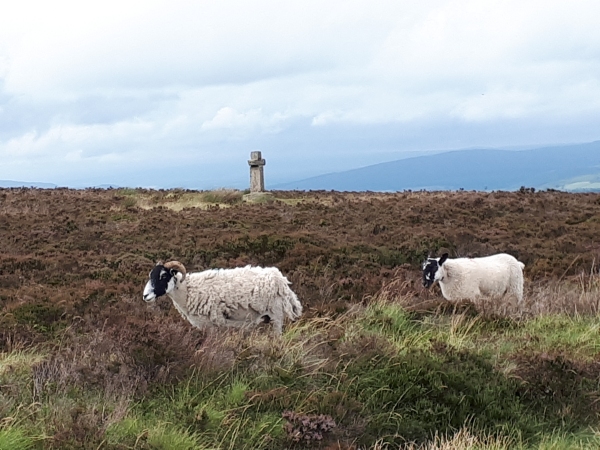
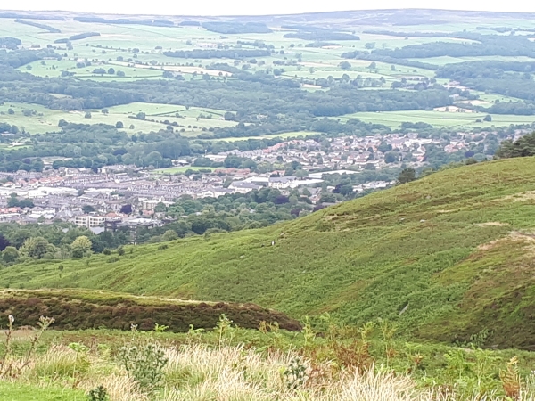
At the end of the gravel track keep going downhill on the tarmac to a T-junction, turning right to follow the road all the way downhill into the centre of Ilkley. There are many cafes and pubs in the centre of Ilkley if you wish to stop for refreshments. ![]() Go straight down Brook Street to the traffice lights and straight through these to continue downhill over the river before taking the next left, Denton Road opposite the rugby club. Follow Denton Road, before turning left onto Nesfield Road just before the steep hill, to pass through Ilkley Golf Course and past the club house on the right.
Go straight down Brook Street to the traffice lights and straight through these to continue downhill over the river before taking the next left, Denton Road opposite the rugby club. Follow Denton Road, before turning left onto Nesfield Road just before the steep hill, to pass through Ilkley Golf Course and past the club house on the right.
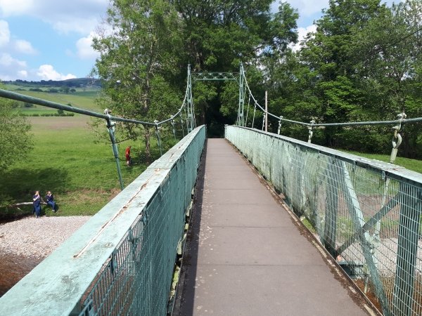
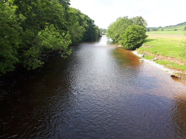
Follow this road through Nesfield and all the way to a left turn signposted as a footpath to Addingham. About 200 yards down this road, just before the farm buildings, take the footpath to the right. Dismount from your bike and take the footpath over a small bridge and then follow the footpath all the way to the swing bridge. Cross the river on the swing bridge and climb up the footpath to Bark Lane to turn right and head back into Addingham.
To display a larger map and see the option to download the gpx file please click on the GPX Track link above.


